Solunto Archaeological Area and Antiquarium – Palermo Regional Park for Parks and Archaeological Museums
The ancient town of Solunto stands on Monte Catalfano and it was one of the three settlements, with Motya and Panormos, founded by the Phoenicians between the 8th and 7th centuries BC, period in wich the Greek colonization began in Eastern Sicily (Thucydides VI,2, 6). However the vestiges that can be visited today are not referable to the Solunto mentioned in the Greek historian. The oldest settlement was located on the Sòlanto promontory; it was sacked and destroyed by Dionysius I, Syracuse tyrant, during the war unleashed against the Punic, which ended with the destruction of Motya in 397 BC (Diodorus Siculus, XIV, 5; 78.7).
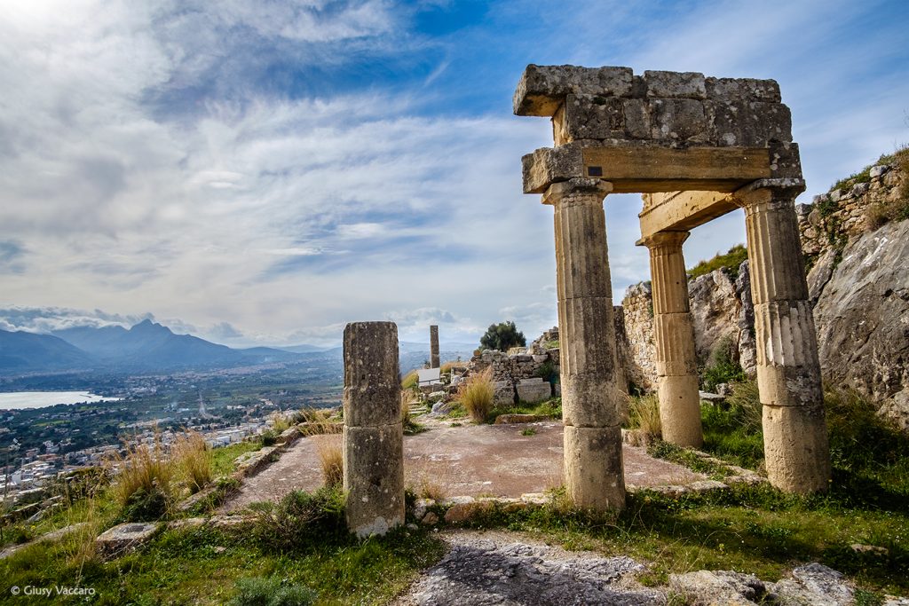
Parco Archeologico Solunto Santa Flavia – Ph Giusy Vaccaro
The Hellenistic-Roman settlment was rebuilt during the 4th century BC on the slopes of Monte Catalfano: the city lies on the suitably terraced southeast slope and has a regular town plan with right-angled roads (so-called “Hippodamus” type, from the name of the Greek architect Hippodamus of Miletus, who theorised the principles of orthogonal town layouts in the 5th century BC). Solunto surrended to Rome in 254 BC, during the First Punic War (Diodorus Siculus XXIII, 187) and as Cicero tells us (Verr. II, 42; III, 103) it was among the civitates decumanae wich underwent the harassments of Verre (70 BC).
The last historical source relating to the life of the town is an epigraph (C.I.L. 2, n.7736) dedicated by the Respublica Soluntinorum to Fulvia Plautilla, the wife of the emperor Caracalla; it is datable to between 202 and 205 AD, the year in wich Fulvia was exiled to Lipari. The city seems to have been voluntarily abandoned by its inhabitants in a progressive way at the beginning of the III century AD (probably because of the social, economic and political conditions and parallel to the ruralization of the territory typical of the later ancient age). The toponym Soluntum is still present in the Itinerarium Antonini, whose first edition dates back to the mid-III century A.D and in the Tabula Peutingeriana (a 12th-13th century copy of an ancient Roman map showing the military routes of the Roman empire). In the 7th century AD the Anonymous Ravennate reports the place Solantum, the modern name of the promontory.